- HOME
- ABOUT US
- JOEYS
-
CUBS
- Grey Wolf Presentations
- Grey Wolf Walks
- Make a Woggle
- Cuboree 2017 >
- 2016 Activities >
- 2015 Activities >
- 2014 Activities >
-
2013 Activities
>
- Hike to Natural Bridge
- Bike Night 2013
- Cub Snow Trip 2013
- Cub Environment Camp 2013
- Under the Big Top
- Scouts in Action Week 2013
- Fathers Day 2013
- Science Night 2013
- Indoor Rockclimbing 2013
- Jamboree on the trail 2013
- Hilltop to Headland with Ernie Dingo
- Mothers Day 2013
- Easter Camp at Kiama
- Cub Sailing Day 2013
- Fishing at Narrabeen
- Swimming at Dee Why
- 2012 Activities >
- 2011 Activities >
- 2010 Activities >
- 2009 Activities >
-
SCOUTS
- Badge System
- Auatralian Scout Medallion >
- Green Hikes >
-
Photo Galleries
>
- BCC Scouts in 2024 >
- BCC Scouts in 2023 >
- BCC Scouts in 2022 >
- BCC Scouts in 2021 >
- BCC Scouts in 2020 >
- BCC Scouts in 2019 >
- BCC Scouts in 2018 >
- BCC Scouts in 2017 >
-
BCC Scouts in 2016
>
- BCC Scouts in 2015 >
- BCC Scouts in 2014 >
- BCC Scouts in 2013 >
- BCC Scouts in 2012 >
- BCC Scouts Earlier Photos >
-
VENTURERS
- Queens Scouts >
-
Photo Gallery
>
- Pockets Hut Jan 2023
- Beach night with Rovers - Feb 2022
- Kgari Great Walk - Oct 2022
- Snowys HIke - Jan 2022
- Overland Track - April 2021
- Virtual Reality Night
- Scout Hike May 2019
- Walls of Jerusalem
- Snowys Hike - Dec 2018
- Terrey Hills Bike Night
- Claustral Canyon
- Coxs River Hike
- Jatbula & the Northern Territory
- Abseil night - Shelley Beach - Feb 2018
- Canyon January 2018
- Tasmania South Coast Track >
- Kiandra to Kosciuszko
- Investiture
- Circus Training Night
- Region Venture 2014
- EXPEDITIONS
- AWARDS
- HALL BOOKING
- CONTACT US
Pantoney’s Crown Hike
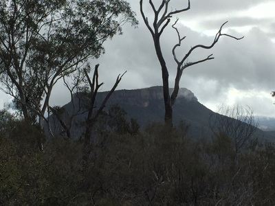
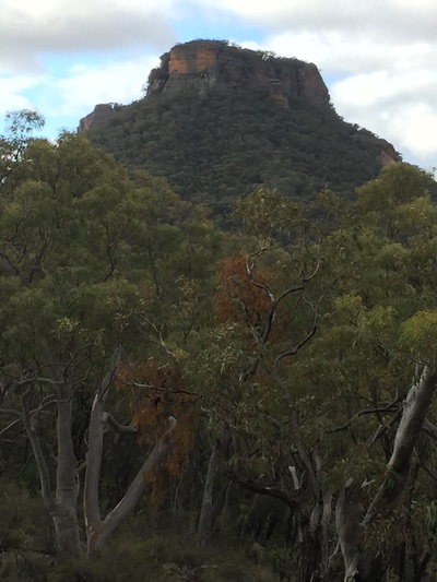
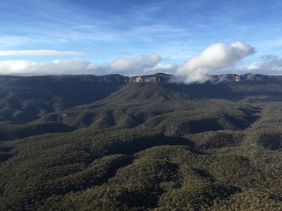
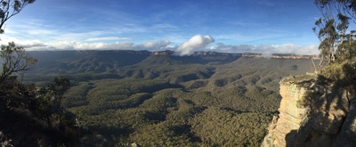
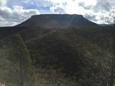
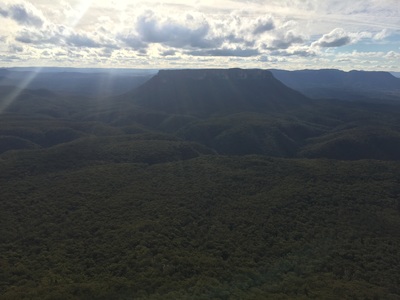
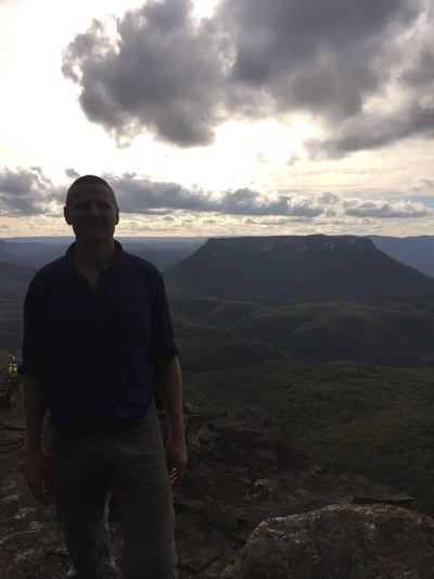
Pantoneys Crown is a monolith standing in the middle of the Gardens of Stone National Park and has all the hallmarks of an epic hike of discovery. Our journey would not only take in the majestic heights of Pantoneys Crown but would also have us descending the treacherous reaches of Baal Bone Point and scaling Point Cameron on the eastern side of the valley
No reliable water would be found along route and only the vaguest descriptions of the secret passes onto and off Pantoneys Crown, Point Cameron & Baal Bone Point were to be found, as if whispered down through folklore.
After procrastinating for several months, an assault on the rock was finally organised for the weekend of 8- 11 July 2016. This needed to be planned carefully with a select group of intrepid a fearless warriors assembled.
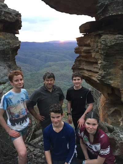
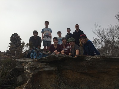
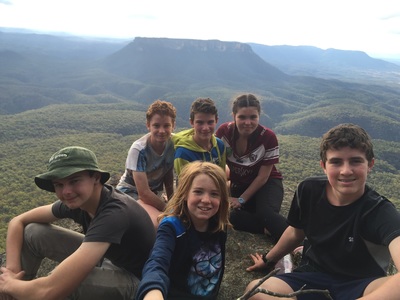
Old hands were gathered including Slugs, Ducky, The Butler Twins (Nathan & Jeremy), The brother & sister Sherry duo (Jonah & Scout), the slight but fearless Jamie Swane and Strokey (Tom James). New to the group was youngster Oscar Humphries, who was yet to earn his full stripes but would prove himself over the rugged terrain.
We set out on Friday evening and camped out along the upper Cox’s river so as to get an early start on the hike on Saturday morning.
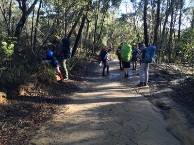
Saturday morning we awoke early & drove to the junction of fire trails (GR297163) where we left the cars and started hiking. The first ¾ of an hour was an easy walk as we settled into rhythm and followed the 4WD track to Baal Bone Point.
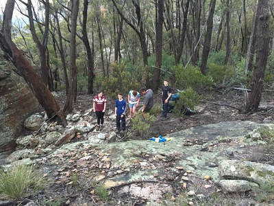
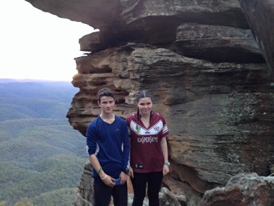
A short rest to take in the view and we started the real journey disappearing off into the bush. We negotiated our first up-hill trek & small scramble up a gully to come out at “The Boot” where we took a brief stop for some photos and climbing fun before we pressed on.
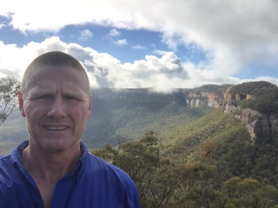
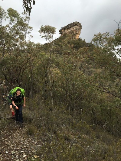
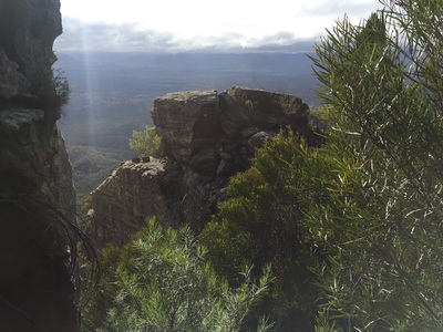
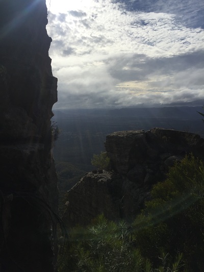
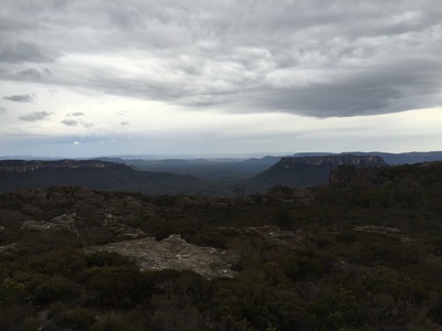
Continuing out along Baal Bone Point we were lulled into a false sense of bravado as we headed down to what we thought was our descent off the point, only to realise we had missed a small turn to the west & needed to backtrack 200m around a gully. Despite the error it did afford the group a great view out to our destination of Pantoneys Crown.
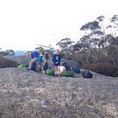
Back on course we continued out to the point & stopped about 200m short to enjoy lunch in the sun with a great view.
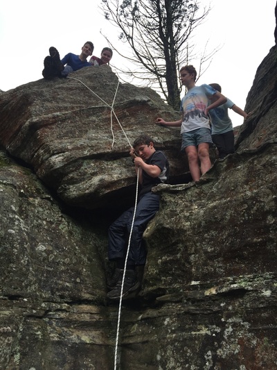
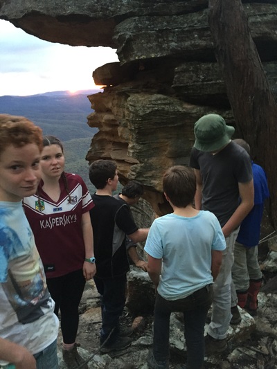
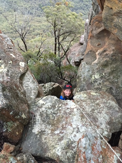
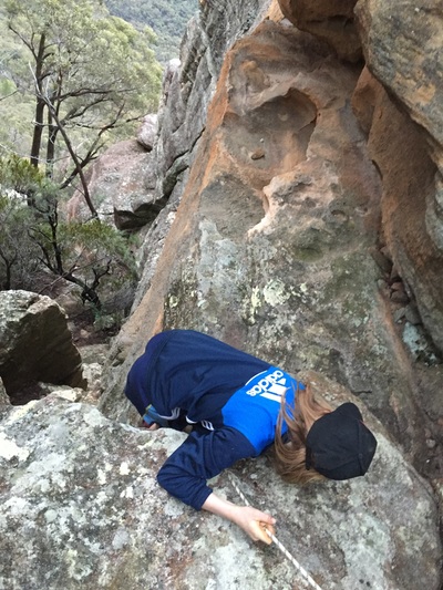
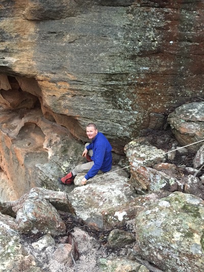
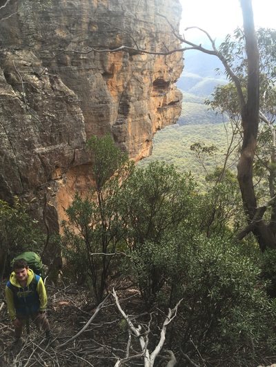
After lunch we made our way out to the point & found our pass down through the cliffs. We used a rope that Slugs had brought, and looped this around a convenient rock bollard to provide a useful handline for the group to use for the descent.
The trek down the ridgeline to the saddle was readily managed by the group and a brief rest in the saddle was taken before our climb up the other side to the Crown.
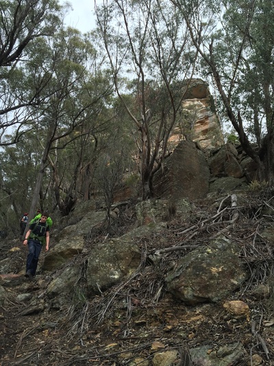
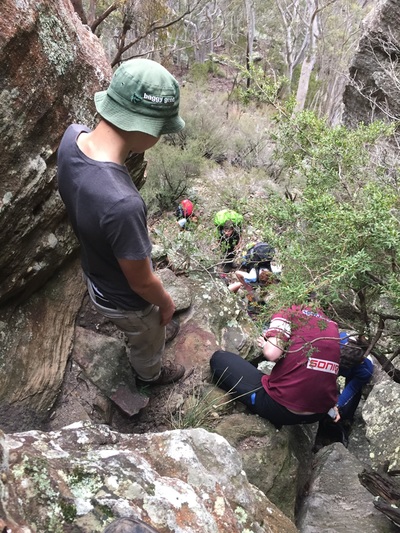
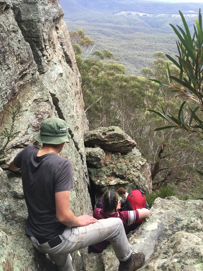
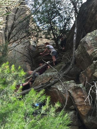
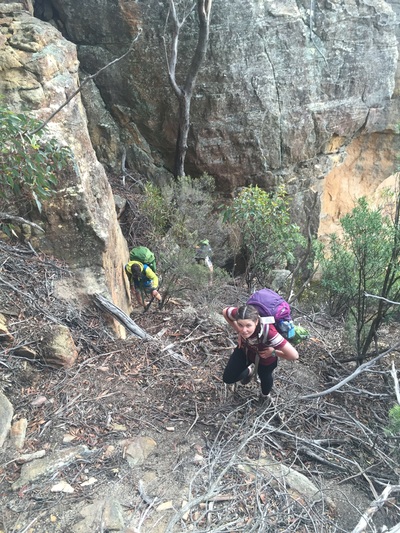
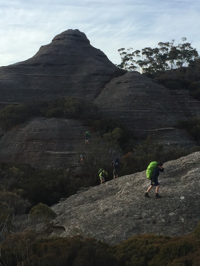
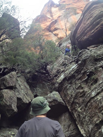
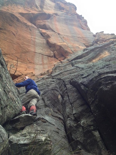
We all took our time as the going was quite steep & the footing was at times soft under foot with all the leaf litter, however we navigated our way straight to the southern nose of the Crown & then regathered. Whilst recouping, slugs did a bit of reconnaissance and located the pass up onto the top of Pantoneys Crown. This involved about 7 separate small climbs (5m – 10m) through a cleft in the cliff line.
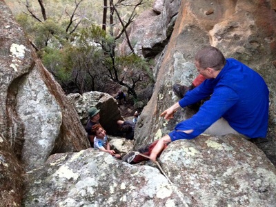
Rather than sit at the bottom of the cliffs for too long Slugs gathered the troops & moved the party around to the start of the pass as there would be plenty of time for recovery as we passed the packs up each small climb. For a number of these climbs, passing the bags proved to be too difficult as they were too high & nowhere to safely stand in the middle of the climb so we resorted to hauling the packs up with the handline.
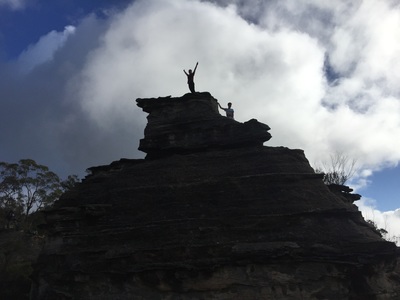
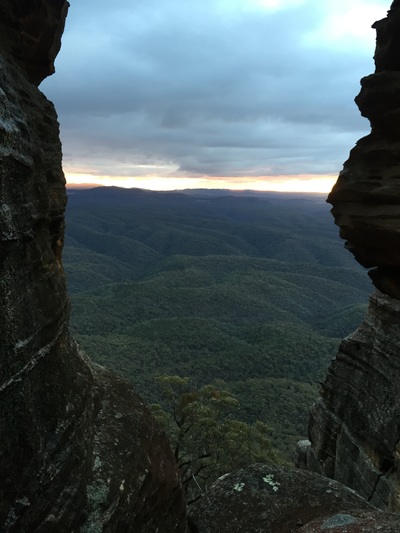
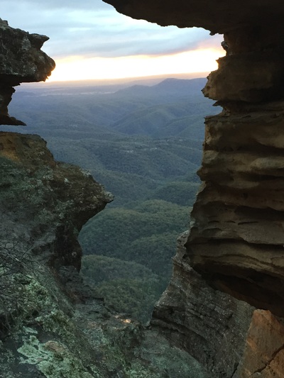
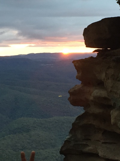
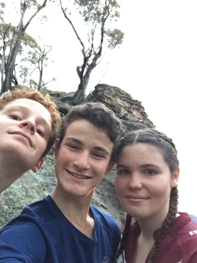
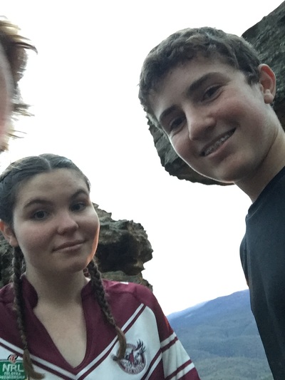
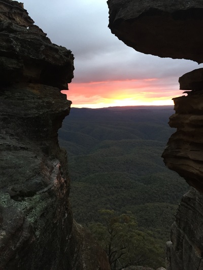
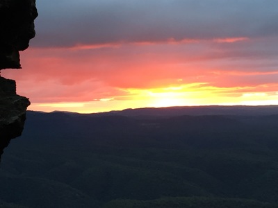
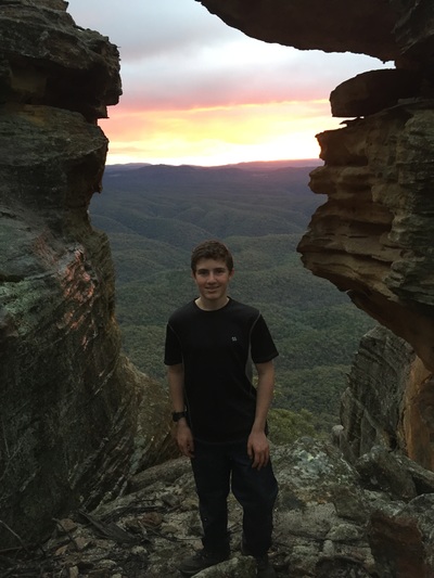
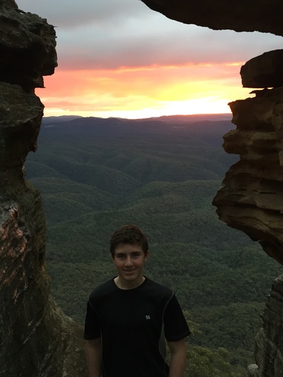
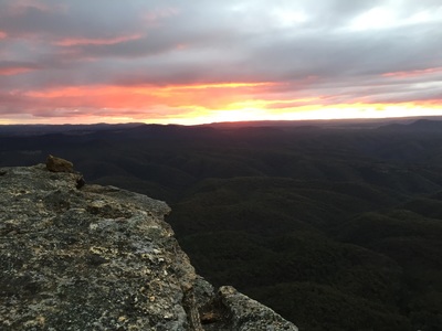
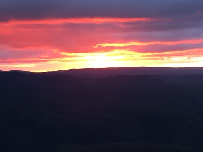
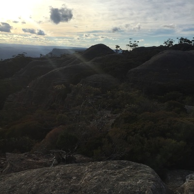
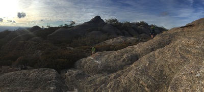
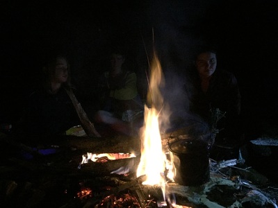
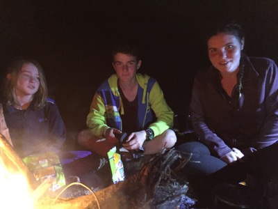
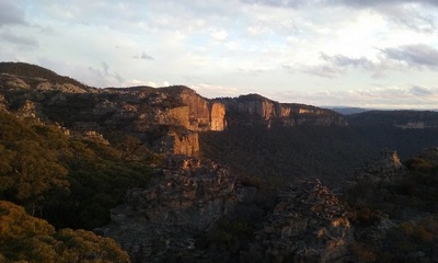
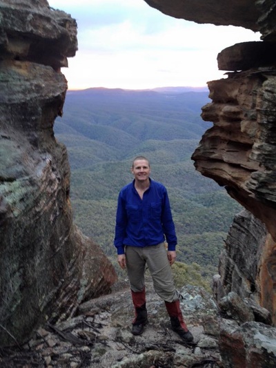
Sunset arrived in spectacular fashion just as we were summiting the last climb onto the Crown. After some photos, we quickly found our campsite in amongst the pagodas and got a roaring fire started and settled in for a lovely evening on Pantoneys Crown and recounted the days exploits.
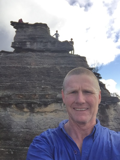
With another huge day ahead of us we struck camp early the next morning and made our way north along Pantoneys Crown, taking some time out to do a Scouts Own at the summit of the Crown and take some pictures. Continuing North along the Crown we needed to find the pass off the North end of the cliff line.
The description was a little sketchy with a descent down to a cave, a crawl through & then around a ledge back to the west side of the Crown before continuing down to the valley floor. Surprisingly this descent turned out to be a lot easier to negotiate than the one at the Southern end that we came up the day before.
Once we were at the bottom of the cliff line, the next trick was to find the correct ridge to follow all the way out to the Crown Creek Management trail. An incorrect turn here would place as into one of the many gorges and our travels would be significantly harder.
Some keen navigation meant we connected with the correct ridge, which provided open forest walking for the next couple of kilometres, all the way to the very steep descent down to Crown Creek and the management trail.
Upon reaching the bottom we took some time for lunch and then started looking for the correct ridge to take us back up to the top of Point Cameron.
If we thought that the climb up to Pantoneys Crown was steep, Point Cameron took this to a whole new level and our youngster, Oscar, started to lag behind as the toll of the previous days hiking was catching up with him.
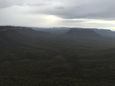
The pass up through the cliffs was easily located and this had only one tricky climb and pack passing (no need for a pack haul). After the first climb and then some small scrambles (one up through a cave) we were sitting atop Point Cameron looking back over the valley to Pantoneys Crown where we had started the day.
Continuing on we were looking to make our night’s camp in McLeans Pass. Unfortunately the deadly labyrinth of these pagodas behind Point Cameron proved to take a lot longer to traverse than we had counted on. These Pagodas were easy to get up onto and looked to head in the correct direction, but they would suddenly come to an end with a 10m cliff meaning we needed to find another way around.
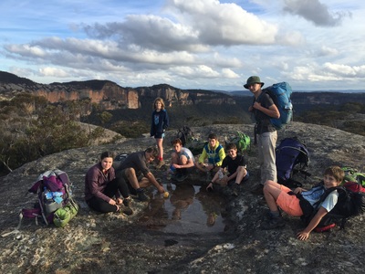
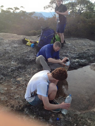
With Oscar tiring & still some distance to travel to McLeans Pass we found a fantastic campsite, known as “The Pondage”, and decided to make camp early. This campsite is between Point Cameron and Mount Davidson and has some fantastic pagodas to stroll around and explore.
We again got a nice fire going, made our dinner & enjoyed sitting around telling yarns.
Monday dawned overcast and it wouldn’t be too long before a light rain started. We broke camp and started off in a southerly direction seeking the ridge that would take us through to McLeans Pass, but soon came across some impenetrable scrub that turned us back east. After we skirted this scrub we finally made it up onto the ridge & made our way to Mount Jamison (after negotiating one small traverse of a pagoda canyon).
A small navigational error saw us head right up to the top and eastern side of Mount Jamison rather than skirting around the western side, however once this was remedied we made good time through to McLean Pass, which offers a fantastic camping spot within a natural rock cavern/tunnel.
A good path leads out of McLean Pass back to the fire trail and we were all soon at the cars having experienced a very unique & fantastic hike in the Wilderness.
